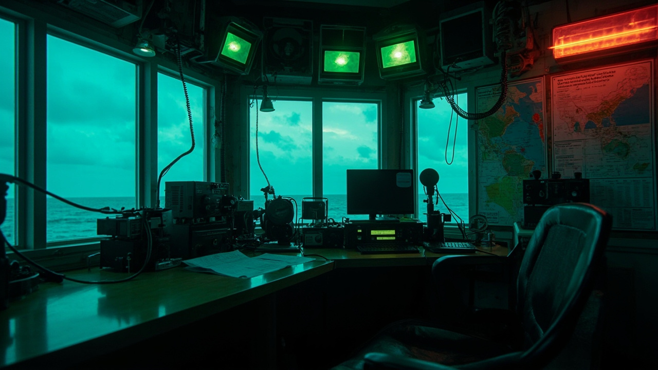
TL;DR: Eastern North Carolina's Newport-based National Weather Service team turns round-the-clock monitoring, field surveys, and volunteer reports into local warnings — and your preparation should mirror that system.
Why ENC depends on the Newport forecast office
NEWPORT, Carteret County — Hurricanes, tornadoes, floods, rip currents and winter storms all threaten the same stretch of coastline. The crew tasked with sorting those hazards for local families works day and night from Newport, according to reporting in Beyond the Headlines: How the National Weather Service keeps ENC prepared.
That WCTI report, published September 26, 2026, features meteorologists Eric Heden and Morgan Simms of the National Weather Service in Morehead City explaining how forecasts and warnings are built. Heden serves as warning coordination meteorologist, a role centered on making sure information reaches people in time to act.
The Newport office carries responsibility for 15 counties across Eastern North Carolina, the article states. More than 15 staff members keep the operation running 24 hours a day. For preppers, that detail matters: there is always a forecaster on duty, even when conditions look quiet overnight.
Coordination extends well beyond Carteret County. The office works with the National Hurricane Center in Miami and the Storm Prediction Center in Norman, Oklahoma, plus emergency managers, public officials, schools and other partners, according to the same report. Warnings you hear on local television or county alert text often started as a discussion between those centers.
Heden described those links as equal in value to the science itself. He said the office works to make forecasts as accurate as possible, but moving that message into neighborhoods is equally important.
For households, the lesson is direct. Do not rely on a single app or channel. Follow the Newport office feed, county emergency management, and trusted local broadcasters together, because that triangle is how the system was designed to function.
What a late-September nor'easter showed about impacts
The week before that profile aired, Eastern North Carolina lived through the kind of long-duration coastal event forecasters warn about most. Coverage in the Island Free Press on September 23, 2026, titled Confidence remains high in coastal storm impacts, with worst conditions expected Thursday and Friday, laid out a multi-hazard forecast from the NWS Newport/Morehead City office.
Hazards included ocean overwash, dangerous surf, strong north to northeast winds, and hazardous marine conditions through the end of that week. Confidence in the overall impact area was described as high, even while exact timing of improvement remained uncertain.
For Hatteras and Ocracoke islands, forecasters expected minor to locally moderate oceanside flooding, with overwash likely on vulnerable sections of N.C. Highway 12. The main coastal effects were projected to start Wednesday afternoon and run through Friday night, with Thursday and Friday high tides carrying the greatest chance of oceanside inundation. Some overwash and dangerous surf could linger into the weekend.
Alert levels reflected that geography. A Coastal Flood Warning covered oceanside areas from Oregon Inlet to Ocracoke, with 2 to 4 feet of inundation above ground level anticipated in vulnerable spots. Coastal Flood Advisories covered oceanside areas from Duck to Oregon Inlet and zones next to the southern Pamlico Sound and Neuse River.
Wind was the other driver. North to northeast winds were forecast Wednesday through Friday, with 40 to 50 mph gusts likely along the Outer Banks. The strongest push was expected from Wednesday night through Friday morning. Isolated power outages and some tree damage were possible. A Wind Advisory continued through Thursday while Gale Warnings covered most nearby waters through Friday.
Marine and surf danger lasted longest. Very hazardous seas threatened to capsize or damage vessels, while beach erosion and a high rip-current risk ran through Saturday under a High Surf Advisory for the Outer Banks, the Island Free Press reported.
The Raleigh News & Observer added complementary detail on September 22, 2026, in Powerful Nor-easter threatens North Carolina coast. Its newsroom summary noted a Flood Watch for oceanside areas from Duck to Ocracoke and breaking waves of 8 to 12 feet possible in Currituck County. Forecast peak gusts reached 49 miles per hour in Rodanthe and 47 miles per hour in Ocracoke, with 15- to 20-foot waves along the Gulf Stream in the broader marine outlook.
Road crews reacted early. The North Carolina Department of Transportation fortified protective dunes on Pea, Hatteras and Ocracoke islands, improved roadway drainage and staged equipment in vulnerable locations. NCDOT warned that difficult driving was likely along N.C. 12 south of the Marc Basnight Bridge, especially around high tides, with temporary closures possible. Dare County Emergency Management advised residents and visitors to minimize travel as conditions worsened, particularly on Hatteras Island.
Even on September 27, water had not fully calmed. A WWA Summary for Small Craft Advisory Issued by MHX, issued at 2:24 a.m. EDT Sunday, September 27, 2026, kept a Small Craft Advisory in effect until 8 p.m. that evening for waters from Duck to Oregon Inlet and until 5 p.m. for waters from Oregon Inlet to Ocracoke Inlet. Seas of 5 to 8 feet were expected to remain hazardous to small craft in the wake of the week's nor'easter. Inexperienced mariners, especially those in smaller vessels, were urged to avoid navigating in those conditions.
The preparedness takeaway is to plan for duration, not just landfall. Stock water, food, medications, fuel, batteries and cash for several days of travel disruption, power flickers and closed causeways, even when inland rain looks light.
How damage teams decide tornado versus straight-line wind
When trees fall or roofs peel, the immediate question for many families is whether a tornado struck. Simms explained in the WCTI interview that survey teams study both the intensity of destruction and the layout of debris to separate tornadoes from microbursts or other wind events.
That pattern analysis matters because speed alone can mislead. Heden noted that a microburst can reach 100 miles per hour while a tornado in another case might produce 60-mile-per-hour winds. A lower wind type label does not automatically mean lighter damage at your address.
Photos and videos supplied by residents can help teams evaluate a storm and at times prompt a revised classification, according to the report. For preppers, that is a practical reason to document damage safely after the threat passes: time-stamped images shot from safe distance, without moving debris or entering unstable structures, preserve clues surveyors need.
Do not self-deploy into a damage path to get a better look. Downed lines, weakened limbs, and shifting piles create secondary injuries after many wind events. Report location details to officials and let trained surveyors make the determination.
How you can feed the forecast: Skywarn and rain gauges
Radar and satellites cannot see everything at ground level. That gap is where trained volunteers add value, Heden and Simms said in the WCTI feature.
The National Weather Service offers Skywarn Weather Spotter classes that teach the public about severe weather and how to report observations. Heden said a trained spotter confirms what is actually occurring on the ground, or not occurring, giving forecasters ground truth.
A second program, CoCoRaHS, enlists volunteers to collect precipitation measurements. Those readings are particularly helpful in rural areas with fewer automated sites. Simms identified Jones, Tyrrell, Washington and Hyde counties as places where extra observers could fill coverage gaps.
The same rainfall reports help forecasters track water upstream and judge flood potential for downstream communities, the meteorologists said. One backyard gauge, read consistently, becomes part of a watershed picture.
Preparedness-minded residents can treat joining as a skill build. Take the free spotter training, mount a low-cost rain gauge per program guidance, and learn county reporting paths before storm season. Practice sending a concise report with location, time, and what you observed.
Hurricane category is not your action plan
The Newport team also runs hurricane preparedness programs across Eastern North Carolina, according to the September 26 report. A central message is to plan for impacts rather than fixate on a number.
Heden cautioned against basing hurricane choices only on category, because the scale describes wind speed and leaves out rainfall and storm surge. His guidance to residents was direct: “Never focus on just a category. Focus on the impacts.”
That distinction played out during the September nor'easter, which carried no hurricane label yet still closed roads, eroded beaches and battered boats. Flooded highways, days of gale-force gusts, and 2 to 4 feet of inundation in vulnerable oceanfront spots can strand a household regardless of tropical status.
Build checklists around water, wind, surge, surf and outage time. Know evacuation routes and N.C. 12 closure history if you live or travel on the Outer Banks. Elevate valuables, test sump pumps and generators early, and keep paper copies of contacts when cell coverage drops.
Rip currents deserve the same respect. Forecasters stressed that far-away storms can send dangerous waves and currents toward the North Carolina coast even when skies overhead look calm. Beachgoers should heed warning flags, choose lifeguarded beaches when possible, and resist swimming out to rescue someone in trouble.
The recommended response instead is to call for help and toss a flotation device if one is available, according to the National Weather Service guidance cited in the report. Teaching children that sequence before a beach trip is as important as packing sunscreen.
More detail on forecasts, weather safety and Skywarn training is available through the National Weather Service in Morehead City, the article notes. Bookmark weather.gov/mhx, Dare County text alerts, DriveNC.gov for roads, and ferry alert systems if your plan depends on water crossings.