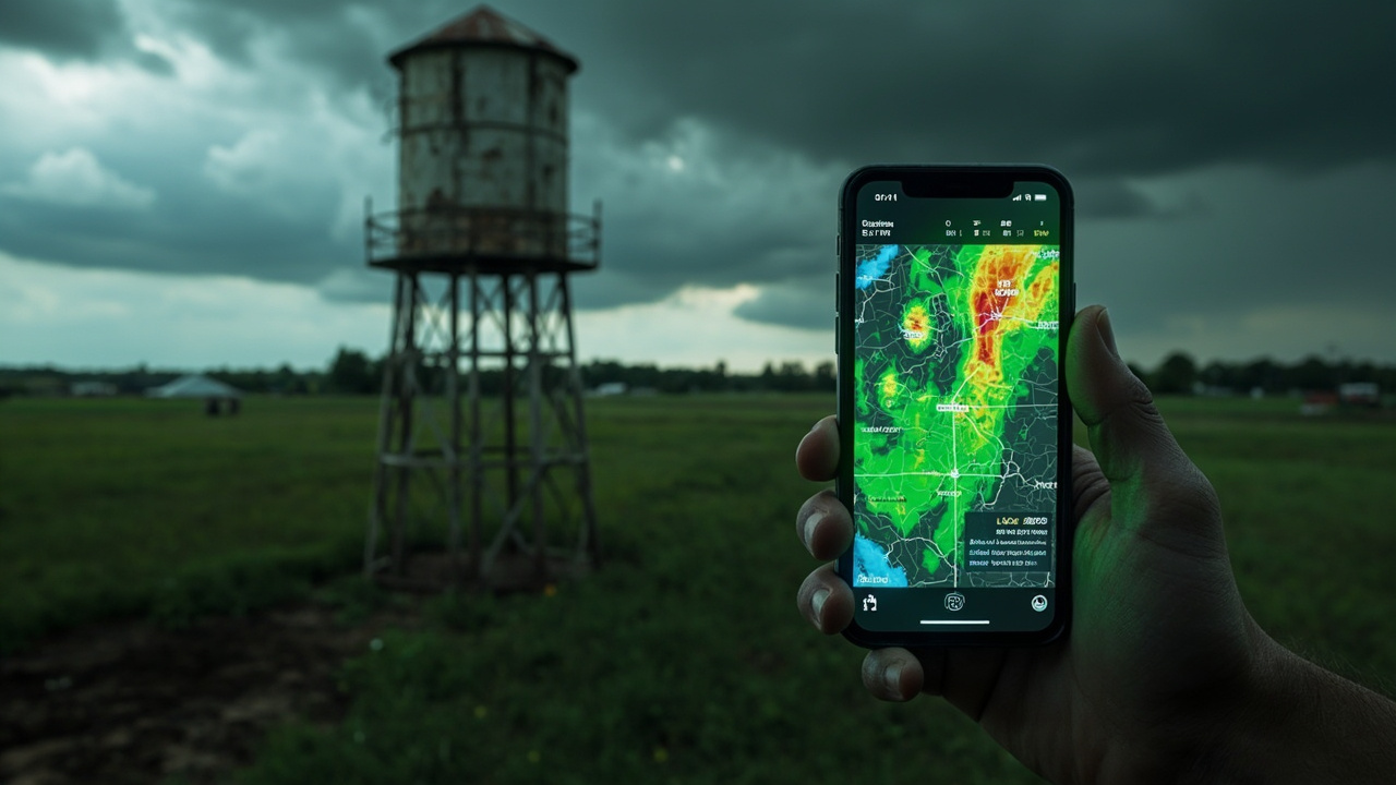
TL;DR: Calhoun County Emergency Management Agency made three free public tools live on calhounema.com in September — a ten-station weather map with radar, a combined outages and river-gauge page, and a staff-reviewed Daily Briefing.
Calhoun County EMA Puts Live Weather, Outages and Daily Briefing in One Place
Calhoun County, South Carolina residents now have three new self-check tools on calhounema.com, according to the October 3, 2026 announcement titled Three New Tools Now Live on calhounema.com - Calhoun County Emergency Management Agency. The post, written by David Chojnacki, Director of Emergency Management, says the additions went live in September and answer a frequent resident question: what is happening right now, and where do I check it myself.
The three additions are a Weather Observation Network page with live radar, an expanded Outages and River Gauges page, and a public Daily Briefing, according to Three New Tools Now Live on calhounema.com - Calhoun County Emergency Management Agency. The agency says all three tools are free, public, and work on a phone as easily as a desktop. It asks residents to bookmark the pages they will use and to report anything that is not working the way it should.
The site header at the time showed OPCON 3 — Normal Daily Operations and stated no active alerts, with weather conditions described as currently normal for Calhoun County. The same header linked to Calhoun CodeRED Alert Sign Up, the Weather Observation Network (CC WON), and the National Weather Service forecast. The announcement lists after-hours emergency contact as 9-1-1.
1. Weather Observation Network: ten county stations plus five-minute radar
The Weather Observation Network page now carries a live radar overlay alongside ten CCWON stations across the county, according to Three New Tools Now Live on calhounema.com - Calhoun County Emergency Management Agency.
Clicking any station marker shows current temperature, humidity, wind speed, barometric pressure, and rainfall, according to the same announcement. The agency says each reading is pulled directly from that station's own sensors.
The radar refreshes every five minutes, matching the update cycle of the source data itself, according to Three New Tools Now Live on calhounema.com - Calhoun County Emergency Management Agency. For preparedness use, that means a resident can compare sky conditions with the nearest station marker and then check the radar loop for movement toward their location.
The county context matters for placement. Calhoun County, South Carolina lists St. Matthews as its seat and largest community, with a 2020 census population of 14,119, according to Calhoun County, South Carolina. The county is described there as the smallest in the state by total area, at 392.48 square miles, with land of 381.15 square miles and water of 11.33 square miles. Adjacent counties are listed as Richland County to the north, Sumter County to the northeast, Clarendon County to the east, Orangeburg County to the south, and Lexington County to the northwest.
Major water bodies listed for the county include Big Beaver Creek, Congaree River, Four Hole Swamp, Lake Marion, and Little Limestone Creek, according to Calhoun County, South Carolina. The upper boundary for the county is described as the Congaree River. Major highways listed include I-26, US 21, US 176, US 601, SC 6, SC 33, SC 172, SC 267, and SC 419.
2. Outages and River Gauges: three utilities and flood stage together
The Outages and River Gauges page grew out of a resident request described as show us who is out of power and where, according to Three New Tools Now Live on calhounema.com - Calhoun County Emergency Management Agency.
The page now tracks outages from all three of the county's electric providers — Tri-County Electric Cooperative, Dominion Energy South Carolina, and Aiken Electric Cooperative — with location and the number of customers affected for each, according to the same announcement.
River gauge readings sit alongside outage data, so flood stage and power status can be checked in the same place, according to Three New Tools Now Live on calhounema.com - Calhoun County Emergency Management Agency. The design avoids separate searches for power and water information during a storm.
That pairing lined up with Midlands weather at the start of October. A WLTX report published October 1, 2026 titled Rain returns this weekend to the Midlands said warm temperatures would continue through Friday before a weekend system brought increasing rain chances and a cool-down. It said temperatures would climb to about 90 degrees before scattered showers and thunderstorms became more likely Saturday and Sunday, with rainfall totals of 2 to 3 inches possible through the weekend and potential for isolated flooding.
A WIS report titled FIRST ALERT: Rain chances ramp up this weekend said Friday afternoon temperatures would rise to the low 90s with a 20% chance of showers and storms late, followed by a 60% chance of rain showers Saturday and an 80% chance Sunday. It said around 1-3 inches of rain was possible throughout the weekend into early Monday, with a 40% chance of rain Monday morning, then low 70s Tuesday and Wednesday with drier conditions.
3. Daily Briefing: alerts, seven-day outlook, rivers, outages, radar and tropics
The Daily Briefing pulls together the day's National Weather Service alerts and forecast, a seven-day hazard outlook, river stages, outage figures from all three providers, radar, and tropics updates from the National Hurricane Center when they are relevant, according to Three New Tools Now Live on calhounema.com - Calhoun County Emergency Management Agency.
It is built for residents, staff, and partners alike, and it is reviewed by the office before it goes out, according to the same announcement. That review step is stated as part of the product description.
For household planning, the listed contents cover immediate alerts, near-term forecast, week-ahead hazards, water levels, power impacts, current radar, and tropical information when relevant. The announcement does not describe an email subscription for the Briefing; it describes the Briefing as a public page to check.
The need for a single morning check was visible in early-October advisories. An Island Packet report based on National Weather Service material, describing a dense fog advisory affecting South Carolina Friday with one-quarter mile visibility, said the NWS Columbia SC released a dense fog advisory valid for Friday between 3 a.m. and 10 a.m. for Northwestern Orangeburg, Central Orangeburg and Southeastern Orangeburg as well as Barnwell, Calhoun, Clarendon and Bamberg counties. The report said visibility of one quarter mile or less in dense fog could be expected, with areas of dense fog expected across portions of the advisory area, especially near bodies of water.
The same Island Packet advisory summary said low visibility could make driving conditions hazardous and relayed National Weather Service guidance to slow down, use headlights, and leave plenty of distance ahead. It said the advisory was in effect until Friday at 10 a.m. The WIS report titled FIRST ALERT: Rain chances ramp up this weekend separately noted a Dense Fog Advisory until 10 a.m. Friday and advised extra time for the morning commute where visibilities were less than a mile.
How to use the three pages in a storm-ready routine
Check the Daily Briefing first for National Weather Service alerts and forecast, the seven-day hazard outlook, river stages, outage figures from all three providers, radar, and tropics updates from the National Hurricane Center when relevant, because that list is the Briefing's stated content in Three New Tools Now Live on calhounema.com - Calhoun County Emergency Management Agency.
Then open the Weather Observation Network page for the ten CCWON stations and live radar overlay, and select the nearest station marker for temperature, humidity, wind speed, barometric pressure, and rainfall from that station's own sensors. Remember the radar refreshes every five minutes.
Then open the Outages and River Gauges page for Tri-County Electric Cooperative, Dominion Energy South Carolina, and Aiken Electric Cooperative outages by location and number of customers affected, plus river gauge readings for flood stage in the same place.
All three tools are described as free, public, and usable on phone or desktop. The agency's closing message in the announcement is to check them out, bookmark the ones residents will use, report problems, and stay safe, Calhoun County. After-hours emergency contact is listed as 9-1-1. The site also points residents to Calhoun CodeRED Alert Sign Up and the NWS forecast link for zone SCZ037.
For drivers facing fog of the type described in the October 1 advisory, general caution from the cited advisory includes slowing down, using low-beam headlights and fog lights where available, leaving distance, following road lines, and pulling into a safe parking area with hazard lights if visibility approaches zero. That guidance comes from the Island Packet summary of National Weather Service fog safety material, not from the county tools announcement.