TL;DR: A 1:30 a.m. evacuation-or-shelter alert meant for one west Eugene block went to all of Lane County after dispatchers picked the wrong map area.
EUGENE, Ore. — A high-risk SWAT standoff on Archie Street triggered a countywide 1:30 a.m. wake-up call across Lane County on Friday, August 28, 2026, when Central Lane 911 operators selected the wrong delivery zone. The message was meant only for homes around the 300 block of Archie Street, but instead buzzed phones from Eugene to Florence, about 60 miles west, and even reached people reporting from Bend. Police arrested the barricaded suspect at 1:44 a.m. and later confirmed there was no ongoing danger.
That core failure — right warning, wrong polygon — is why preparedness planners are treating the night as a live-fire lesson in how public alerts actually work, according to KEZI reporting on the incident titled “Emergency alert error sparks confusion in Lane County.”
What actually went out at 1:30 a.m.?
The county system pushed a Wireless Emergency Alert shortly after 1:30 a.m. Friday, logged by monitoring services at 1:33 a.m. and 1:37 a.m. Pacific time, warning of police activity near Elmira Road and Archie Street.
The wording told anyone present in that immediate vicinity to leave the zone or stay inside behind locked doors, while urging everyone else to keep roads clear for emergency vehicles and to avoid calling 911 without a true emergency.
In practice, the same wording landed on handsets far outside west Eugene’s Bethel-Danebo neighborhood. Social feeds quickly filled with Lane County residents asking who else had been awakened, and the City of Florence posted within minutes that the coastal community was not the subject of the order.
Lookout Eugene-Springfield, in its coverage titled “Emergency alert meant for small area in Eugene ‘inadvertently’ sent out countywide,” quoted Eugene police explaining that the blast was supposed to reach Lane Alerts subscribers plus wireless phones inside the small affected neighborhood, but was inadvertently transmitted countywide.
Who was really in danger on Archie Street?
The real tactical perimeter was tight: the 300 block of Archie Street in west Eugene, near the Elmira Road intersection.
Eugene police were serving a search warrant during the 1 a.m. hour. A 31-year-old man inside a home refused orders from SWAT officers to exit. Dispatch logs and police statements described him as possibly holding high-powered rifles and protected by body armor.
Out of concern for nearby homes, officers ordered evacuations on the immediate block and told other close neighbors to shelter in place. One resident, Laura Hall, said she has lived in the area for nine years and characterized it as typically calm. She told KEZI she received a direct evacuation call from Central Lane 911 around 11:30 p.m. Thursday, hours before the mass wireless blast.
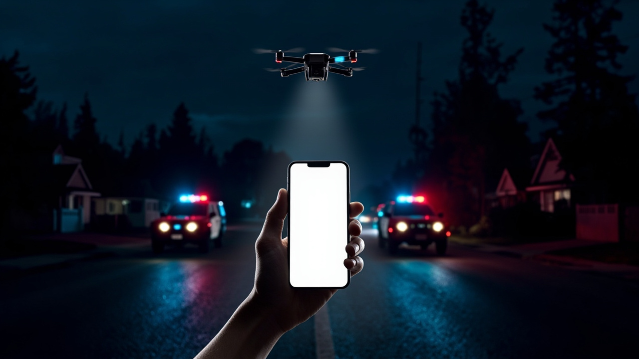
Hall said occupants panicked at first because the word evacuation made many assume wildfire. Her next-door neighbor reported he never received that initial direct call. He learned of the crisis only when the broad 1:30 a.m. wireless message arrived and he stepped outside to find drones overhead and patrol cars sealing the street.
Officers resolved the standoff without broader injury. The man was taken into custody at 1:44 a.m. Friday, about 10 to 15 minutes after the erroneous mass alert, and booked into Lane County Jail on suspicion of coercion, menacing and unlawful possession of body armor, among other charges, according to KLCC reporting titled “Late night emergency alert sent to all of Lane County was an accident.”
A police spokesperson messaged shortly after 2:30 a.m. that the suspect was in custody, everyone was safe, and the investigation continued.
How did a block-level warning become countywide?
Central Lane 911, the dispatch center that serves Eugene police and other local agencies, accepted responsibility for a map-selection mistake.
Acting operations manager Emily Jessie confirmed the geographic mistake in a video briefing. The center meant to draw a tight polygon around Archie Street inside the Everbridge critical-communications platform, but the operator failed to select that narrow zone and the system defaulted to a county-scale footprint.
Everbridge is the software layer Lane County uses to build and launch critical messages. From that one console, an operator must choose both message type and delivery footprint, a multi-step sequence completed under time pressure during dynamic incidents.
Jessie explained that such nighttime tactical alerts must be authored and launched in minutes, which leaves openings for human error. Eugene police echoed that point in a Friday statement, noting several steps must be completed correctly to match the exact alert type to the exact area.
Coverage by KVAL titled “Countywide emergency alert sent by mistake during Eugene police incident” likewise reported that the alerting console allows officials to define both format and geography, and that officials said they continue to train on the tool to improve timely and accurate delivery.
By morning, officials stressed the event was over and there was no active threat to the community.
Why did phones 60 miles away still sound?
Even without the selection error, wireless alerts are not surgical, officials said.
The county uses three overlapping paths: Reverse 911 to landlines, broadcast interruption to television and radio, and Wireless Emergency Alerts to mobile phones using tower connections and handset location data. The Everbridge-built message can also go to people who voluntarily enrolled in Lane Alerts, the opt-in county notification list for severe weather, wildfire, evacuations and other emergencies.
For the tower-based path, Central Lane 911 can target phones linked to towers inside the drawn area. Jessie said that method is inherently imprecise. A message may cover a broader footprint than drawn, or it may skip someone inside the intended zone, depending on tower handoffs and device settings.
She gave the example of a two-hour active window: anyone whose phone connects through a selected tower at any point during that window could receive the notice, even if they merely drove through after the incident stabilized. Eugene police added that because wireless delivery depends on GPS and tower routing, even correctly addressed messages can occasionally appear on unintended devices.
That is why Florence officials told residents the broad reach was partly by design to ensure intended recipients are not missed, while advising distant recipients to read the location line first for situational awareness rather than acting on the headline alone.
Lookout reporting noted Florence is about 60 miles west of Eugene, yet its city page needed to clarify the order did not apply there. A separate Lookout newsletter also described residents in Bend seeing the push, underscoring how far tower spillover and travel can carry an early-morning blast.
What neighbors experienced on the ground
For people inside the true perimeter, the night unfolded in two phases.
First came targeted outreach late Thursday. Hall said the 11:30 p.m. call warned of unsafe conditions in the neighborhood and urged departure. Fear spread quickly because many linked evacuation language to fire season rather than police activity.
Second came the mass tone at about 1:30 a.m. Hall’s neighbor, who had received no direct call, woke to that tone, then observed unmanned aircraft and blocked roadways outside. That sequence — direct calls for some, no notice for immediate next-door homes until the mass push — shows why dispatchers use both directed calling and area-wide wireless tools in parallel.
Outside the perimeter, the experience was confusion without risk. People awakened by the tone checked maps, checked social groups, and waited for clarification. Florence’s rapid Facebook post helped coastal residents stand down. Eugene police followed with formal confirmation that the incident was resolved and the countywide reach was unintended.
No injuries beyond the underlying criminal case were reported by Friday afternoon.
What preppers should change before the next 1 a.m. tone
Do not rely on a single tone to tell you what to do. Read the full text for street names, direction, and protective instruction before moving, a point Jessie emphasized when she urged recipients to read what is inside the message and follow that direction.
Second, enroll deliberately. Lane Alerts is the county’s subscriber list for emergency notices covering severe weather, wildfire, evacuations and other hazards. Registration lets officials reach you even when tower targeting misses your handset, and it delivers the same incident details that wireless broadcasts carry.
Third, build a bedside verification routine. Keep a charged phone with wireless alerts enabled, a battery or hand-crank radio for broadcast alerts, and a written list of local streets, mile markers and evacuation routes so a 1:30 a.m. message naming Elmira and Archie can be judged in seconds. Keep footwear, keys, wallet, medications and a go-bag near the exit so a move-or-stay order does not force a search in the dark.
Finally, treat over-alert as expected. Because time windows and tower links can extend delivery, assume any loud tone could be for travelers passing through or neighbors two towns away. Check the city, county and dispatch pages, confirm whether your address falls inside the named intersection, and only then evacuate, shelter, or return to sleep.
Sources referenced
- Emergency alert error sparks confusion in Lane County | Local | kezi.com (https://www.kezi.com/news/local/emergency-alert-error-sparks-confusion-in-lane-county/article_1b39a5dd-d776-4743-bc1b-0d33f1486ae4.html)
- Emergency alert meant for small area in Eugene ‘inadvertently’ sent out countywide - Lookout Eugene-Springfield (https://lookouteugene-springfield.com/story/justice/2026/08/28/emergency-alert-inadvertently-sent-out-countywide/)